Tsunami Inundation System
Tsunami Inundation System#
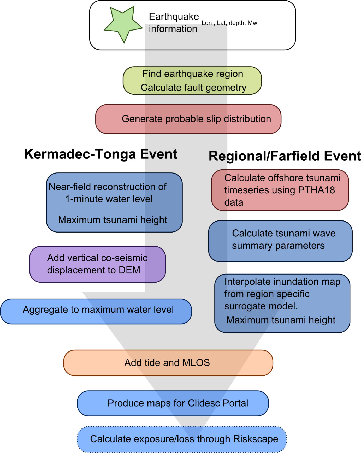
The methodology for the tsunami inundation forecast relies on the seismic information available in the minutes following a large earthquake and a collection of pre-computed inundation simulations. The first seismic information to become available following a large earthquake is an estimate of the epicentre location, depth, and the magnitude of the earthquake. For large earthquakes, the magnitude estimates often increase over the first 10-20 minutes as the fastest methods for calculating magnitudes saturate out for moderately large earthquakes. Further information is needed to accurately calculate the moment magnitude for megathrust earthquakes.
The pre-computed simulations provide a collection of maximum tsunami water levels (and for each minute for near-field events). The inundation map is then constructed by scaling and combining the pre-computed tsunami water levels.

