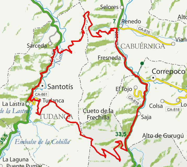
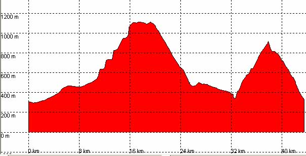
| Kilometers/Miles |
44 / 27 |
| Cummulative ascent: meters/feet |
1486 / 4874 |
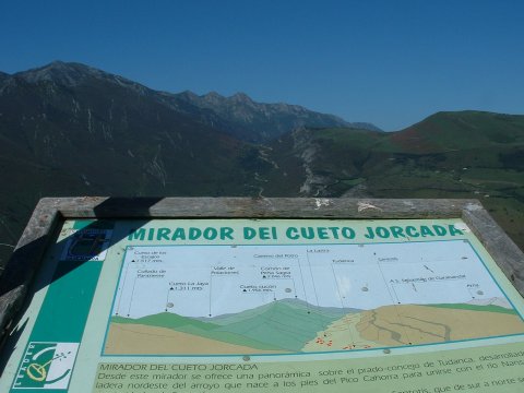
| Maximum height |
1110 / 3640 |
| Duration |
5 hours |
| Beginning and end location |
Renedo de Cabuérniga |
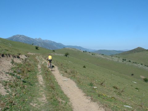
| Difficulty |
High |
| Month |
September |
| Recommended period |
Spring, summer, autum |
 |
 |
 |
 |