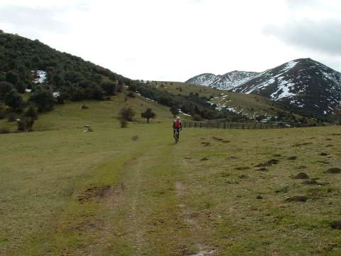
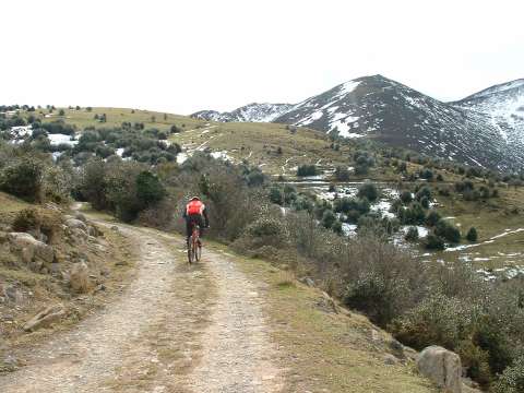
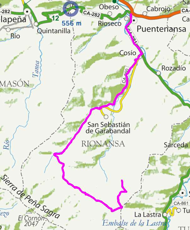
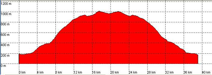
Puente Nansa, San Sebastián de Garabandal, Collado de Abellán

Route 29

By: Javier Tovar, Pedro Ceballos, and Michael González Harbour


Basic Data

Click here to open the route in a Google Maps window. You will see it drawn on a satellite picture or a map. Use the controls in the upper part of the window to zoom into the map, reposition it, or to change the satellite.

mapa route 29

Kilometers/Miles
39 / 29
Cummulative ascent: meters/feet
949 / 3113
Maximum height: meters/feet
1013 / 3323
Duration
3 hours and a quarter
Beginning and end location
Puente Nansa
Difficulty
Medium
Month
February
Recommended period
All year round

Profile


perfil route 29

Pictures


foto1
foto2
foto 3
foto 4
foto5
foto 6

Downloads

To open the route in Google Earth click on the 'KMZ' link and select 'Open with Goole Earth' (requires prior installation of Google Earth). To download a route, right-click on the link and select 'save link as' or a similar option.

Instructions

See the instructions and disclaimer, as well as other routes, in the main page.