| Kilometers/Miles |
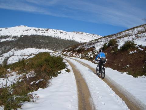
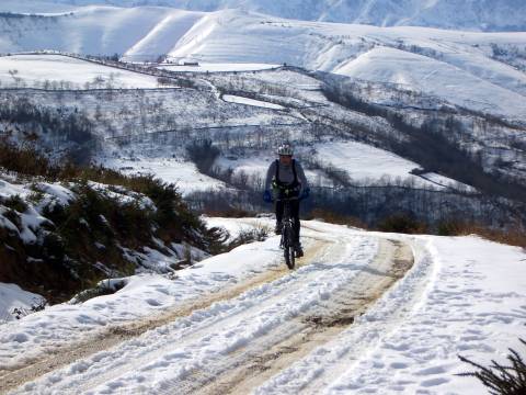
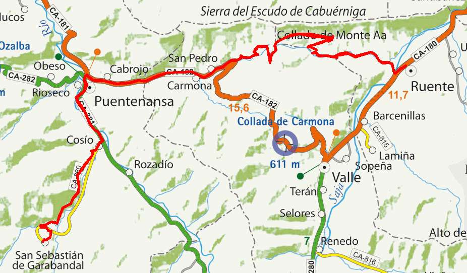
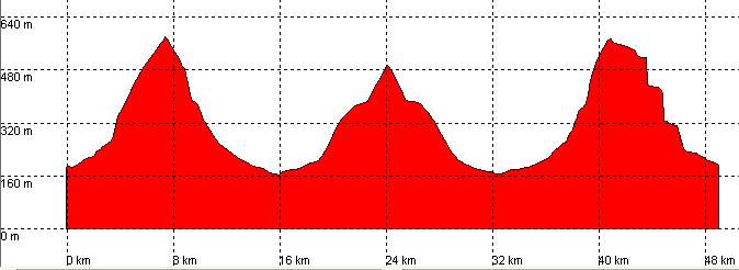
50 / 31 |
| Cummulative ascent: meters/feet |
1136 / 3612 |
| Maximum height |
571 / 1928 |
| Duration |
4 and a half hours |
| Beginning and end location |
Ruente |
| Difficulty |
Medium |
| Month |
January |
| Recommended period |
All year round |
|
|
|
|
|
|