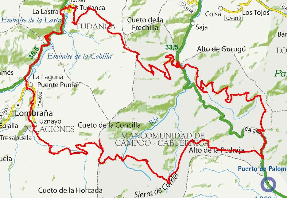
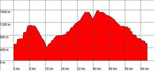
| Kilometers/Miles |
67 / 42 |
| Cummulative ascent: meters/feet |
2191 / 7186 |
| Maximum height | 1585 / 5200 |
| Duration |
7 and a half hours |
| Beginning and end location |
Saja |
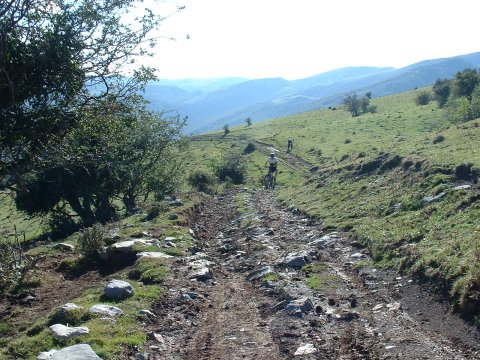
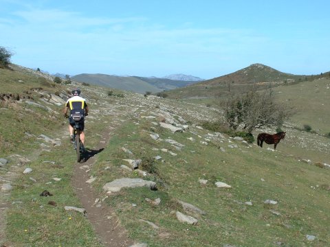
| Difficulty |
Very high |
| Month |
October |
| Recommended period |
Summer |
 |
 |
 |
 |
 |
 |