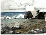
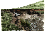
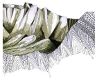
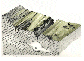
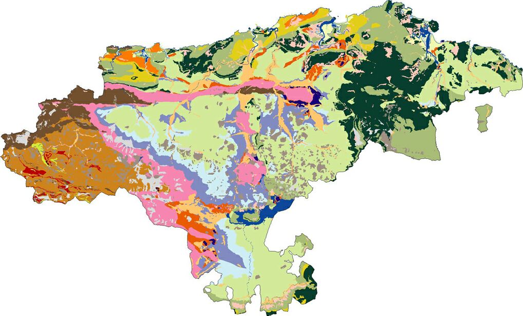
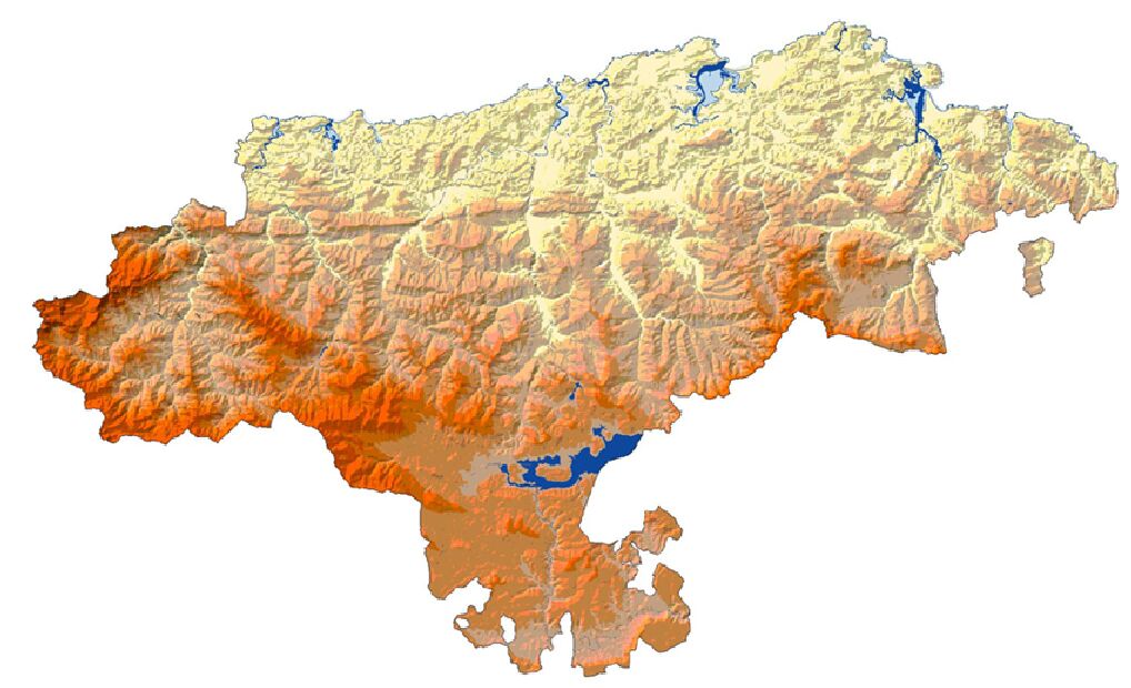
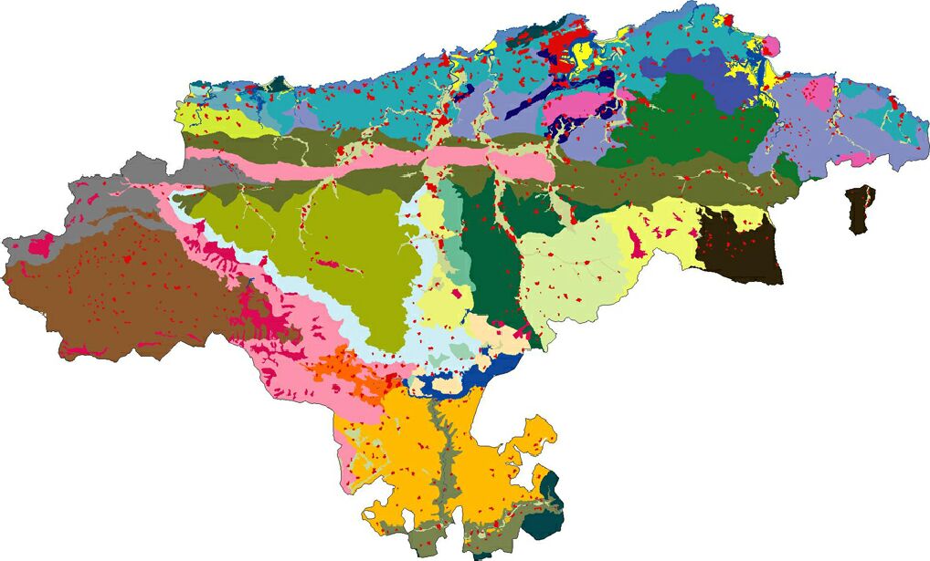
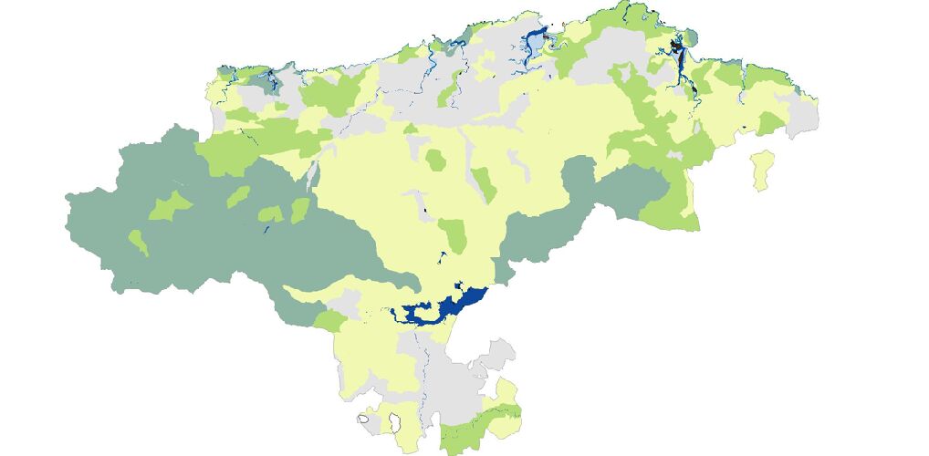
The Geoscientific Atlas
of Cantabria intends to increase understanding and awareness of geological
and geomorphological characteristics and processes.
The aim of this project
was to provide information on the environment of Cantabria,
a diagnosis of some significant qualities and recommendations
for land-use planning.
information
on the environment of Cantabria
diagnosis
of some significant qualities
recommendations
for land-use planning
back
to homepage